Mae Ping Fm
Type Locality and Naming
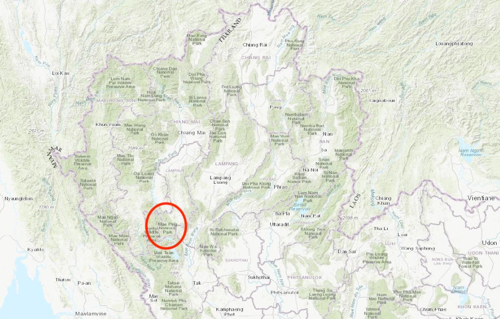
Type section is at Tat Sador and Ko Luang Waterfall in the Mae Ping National Park, Li district, Lamphun province. A limestone section about 100 km south of Chiang Mai, near the Phumiphon Dam on the Maenam Ping, was described by Burrett et al. (1986).
Synonym: หมวดหินแม่ปิง
[Figure: Screenshot taken from ESRI topographic map of QGIS, with type locality highlighted.]
Lithology and Thickness
Type section is a 220 m thick sequence of limestone (calcarenites and calcilutites). Thin bedded, grey limestone and argillaceous bed, 60 m thick, in the lower part; thick to massive limestone, 160 m thick, in the upper part.
Relationships and Distribution
Lower contact
This formation overlies conformably black tentaculitid shale with syneresis cracks on the top of beds. [No formation name was given in this Strat Lex entry]
Upper contact
Not given
Regional extent
Correlation: Thong Pha Phum Gr, Lower Devonian Zebingyi Fm in Shan State of Myanmar. "It correlates most closely with unit G of the Thong Pha Phum area (Hagen & Kemper 1976)." (Ridd, 2011)
GeoJSON
Fossils
"... contains conodonts and tubular-walled ortho- conic nautiloids resembling Parakionoceras in the lower part. The fauna, and the fact that immediately beneath the limestone are black shales with tentaculites, trilobites and crinoids, suggested to those authors [Burrett et al., 1986] that the age of the Mae Ping Formation falls in the range Early Silurian to Middle Devonian.
Age
Depositional setting
Additional Information
